How to install soil moisture sensors—Faster, better, and for higher accuracy
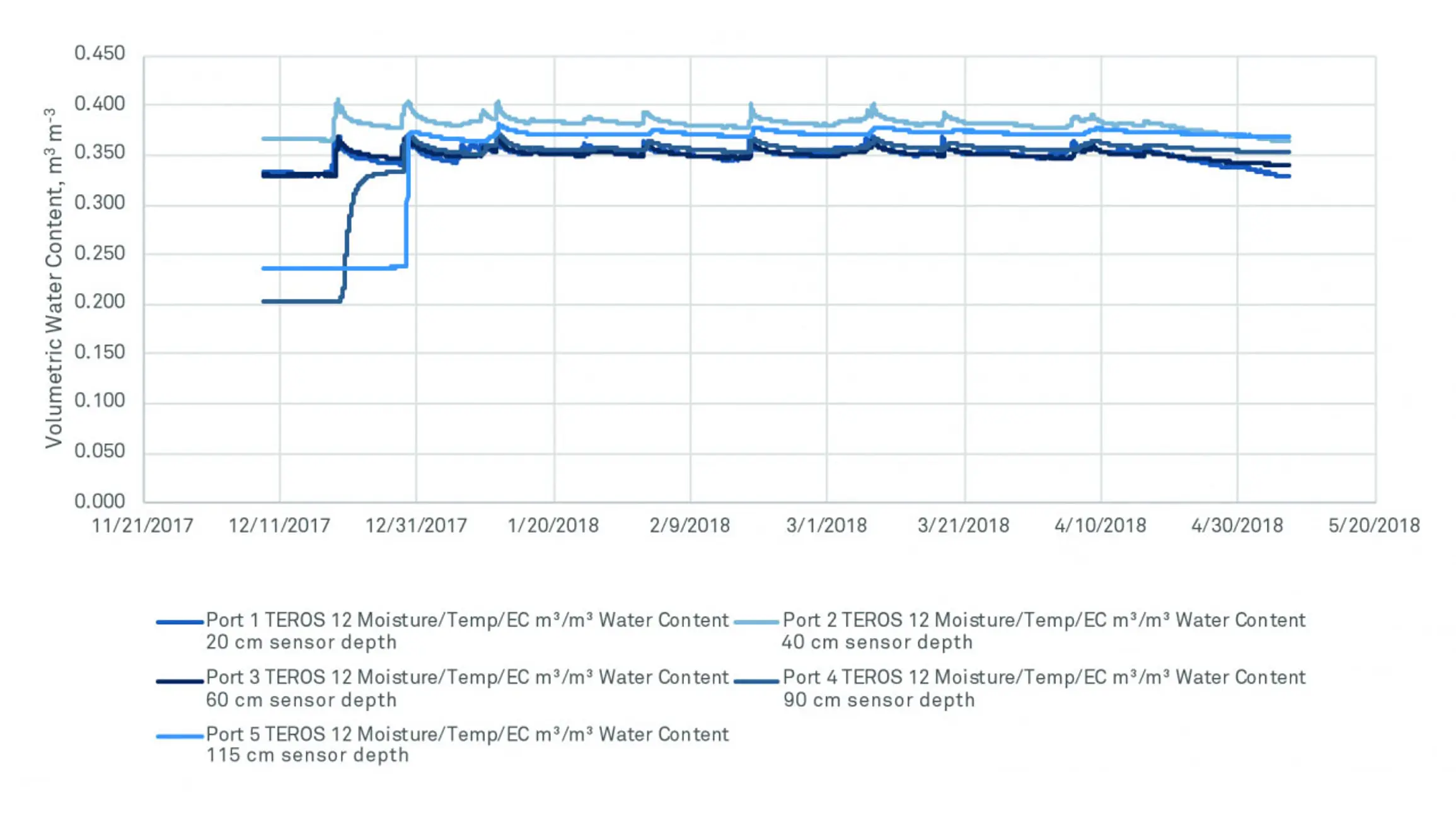
If you want accurate data, correct sensor installation should be your top priority. Poor installation can potentially cause accuracy loss of greater than 10%.

When it comes to measuring soil moisture, site disturbance is inevitable. We may placate ourselves with the idea that soil sensors will tell us something about soil water even if a large amount of soil at the site has been disturbed. Or we might think it doesn’t matter if soil properties are changed around the sensor because the needles are inserted into undisturbed soil. The fact is that site disturbance does matter, and there are ways to reduce its impact on soil moisture data. Below is an exploration of site disturbance and how researchers can adjust their installation techniques to fight uncertainty in their data.
During a soil moisture sensor installation, it’s important to generate the least amount of soil disturbance possible in order to obtain a representative measurement. Non-disturbance methods do exist, such as satellite, ground-penetrating radar, and COSMOS. However, these methods face challenges that make them impractical as a single approach to water content. Satellite has a large footprint, but generally measures the top 5 to 10 cm of the soil, and the resolution and measurement frequency is low. Ground-penetrating radar has great resolution, but it’s expensive, and data interpretation is difficult when a lower boundary depth is unknown. COSMOS is a ground-based, non-invasive neutron method which measures continuously and reaches deeper than a satellite over an area up to 800 meters in diameter. But it is cost prohibitive in many applications and sensitive to both vegetation and soil, so researchers have to separate the two signals. These methods aren’t yet ready to displace soil moisture sensors, but they work well when used in tandem with the ground truth data that soil moisture sensors can provide.
After a research site is disturbed, it can take up to six months or even longer for the soil to return to its natural state. Influencing factors include precipitation (wet climates return to ‘normal’ faster than dry climates), soil type, and soil density. It is common for researchers to ignore the first two or three months of data as they wait for equilibrium to return. When researchers dig, mature grass or plants are removed and then replaced. Often, these plants are difficult to reestablish, and with a large-scale disturbance, a significant number of these plants either don’t perform well or die. Because these plants are no longer transpiring water, the water balance is changed, which can have a critical impact on soil moisture data. Any option to disturb less surface area can reduce plant mortality and improve results.
When soil is moved or compacted, it disproportionately impacts the micro- and macropores, tiny capillary tubes with a wide range of pore sizes that give the soil its structure and allow water movement. Site disturbance and soil repacking destroys the soil macropores, causing the water to move more slowly and along different pathways. This in turn impacts recharge below the altered zone. Any installation option that removes less soil will minimize this problem.
The opposite of compaction occurs when soil is repacked too loosely. This causes preferential flow along the sides of a borehole or trench wall, enabling more water to move into the zone than is normal. This excess water is often absorbed into the undisturbed soil where sensor needles are inserted, skewing soil moisture data. To fight this problem, researchers should plan time to carefully repack the hole to an appropriate density. This is done by adding soil and packing in layers until there is a slight mound on the surface to prevent ponding. If the surface is flat, the soil could settle into a depression over time. Large pits can lead to significant-sized depressions which will preferentially collect water and change the way the water infiltrates into the soil around the sensors.
Mixing soil horizon layers while repacking an installation pit can drastically change the soil hydraulic properties. For instance: if a soil has a sandy A horizon and a clay B horizon, reversing or mixing the layers would have obvious consequences. Some soil layers are easy to differentiate, while other soil types have horizons that are hard to tell apart. For this reason, soil should be carefully removed and returned in layers, to prevent a change in soil hydrology. Researchers can achieve this by laying tarps around the installation pit and carefully removing the soil, layer by layer, placing it on the tarps in a sequence. It’s easy to get these layers mixed up, so it’s helpful to prepare a method to remember the layers before starting. After sensor installation, researchers should return the soil layers to the pit in reverse order, repacking to the correct density between each layer.
Digging a trench to install soil moisture sensors can potentially destroy large root systems, especially if researchers are digging in an area with mature shrubs and trees. Since roots are the primary depletion mechanism for water in the soil, when they die, it will change how representative soil moisture measurements are to the entire research area. If all the roots near the sensors are killed, measurements may suggest that the water is more abundant than it truly is. Researchers can reduce this problem by using strategically placed boreholes that disturb fewer root systems.
One advantage of a trench installation is that researchers can see the entire soil profile, enabling them to more easily identify hardpan layers, determine horizons and soil types, and identify soil structure and formation. However, digging a large trench removes a massive amount of soil. And once all that soil is repacked, many macropores are likely crushed and hydraulic discontinuity now exists in the soil, increasing the possibility of water being artificially diverted from, or directed toward, the sensors. The situation worsens if a researcher uses a backhoe to save time. The backhoe’s tracks and pads compact the soil, especially if it’s wet, and the large scoop tears up plants and root systems.
Profile probes are enticing because they use small boreholes which cause less soil disturbance. However, a profile probe’s rigidly straight form factor requires a perfectly perpendicular wall for good soil-to-sensor contact. Unfortunately, the sides of a borehole are seldom perfectly perpendicular. There are curves and pits along the soil wall. A straight-sided profile probe rarely obtains good connectivity, and the installation is often plagued with air gaps and preferential flow. Profile probe users often try to compensate by backfilling with a thick slurry of mud, but there are challenges associated with this method as well, including the introduction of non-native soil and inaccuracies caused by the cracks that occur as the soil dries. To mitigate these issues, METER’s new TEROS 54 profile probe has a patented quad-fin design that is engineered specifically for good soil-to-sensor contact.
A borehole disturbs the soil layers, but the relative size of the impact to the site is a fraction of what it would be with a trench installation. A trench may be about 60 to 90 cm long by 40 cm wide. A borehole installation performed using a small hand auger and the TEROS Borehole Installation Tool creates a hole only 10 cm in diameter—just 2-3% of the area of a trench. Because the scale of the site disturbance is minimized, fewer macropores, roots, and plants are disturbed, and the site can return to its natural state much faster. Additionally, when the installation tool is used inside a small borehole, good soil-to-sensor contact is ensured, and it is much easier to separate the horizon layers and repack to the correct soil density because there is less soil to separate.
The key to reducing the impact of site disturbance on soil moisture data is to control the scale of the disturbance. Large-scale excavation affects larger areas, whereas augering a small borehole will have much less impact on the surrounding plants and soil hydraulic properties, allowing the research site to return to its natural state at a much quicker rate.
Watch the video below where sensor installation expert, Chris Chambers, explains how to achieve a smarter sensor installation. Learn:
Learn everything you need to know about measuring soil moisture—all in one place: why you need it, how to measure it, method/sensor comparisons, how many measurements, where you should measure, best practices, data troubleshooting, and more.
Download the researcher’s complete guide to soil moisture
Six short videos teach you everything you need to know about soil water content and soil water potential—and why you should measure them together. Plus, master the basics of soil hydraulic conductivity.
Our scientists have decades of experience helping researchers and growers measure the soil-plant-atmosphere continuum.
If you want accurate data, correct sensor installation should be your top priority. Poor installation can potentially cause accuracy loss of greater than 10%.
Step-by-step instruction guide for performing METER soil moisture sensor calibrations
Learn how to assemble the TEROS borehole installation tool