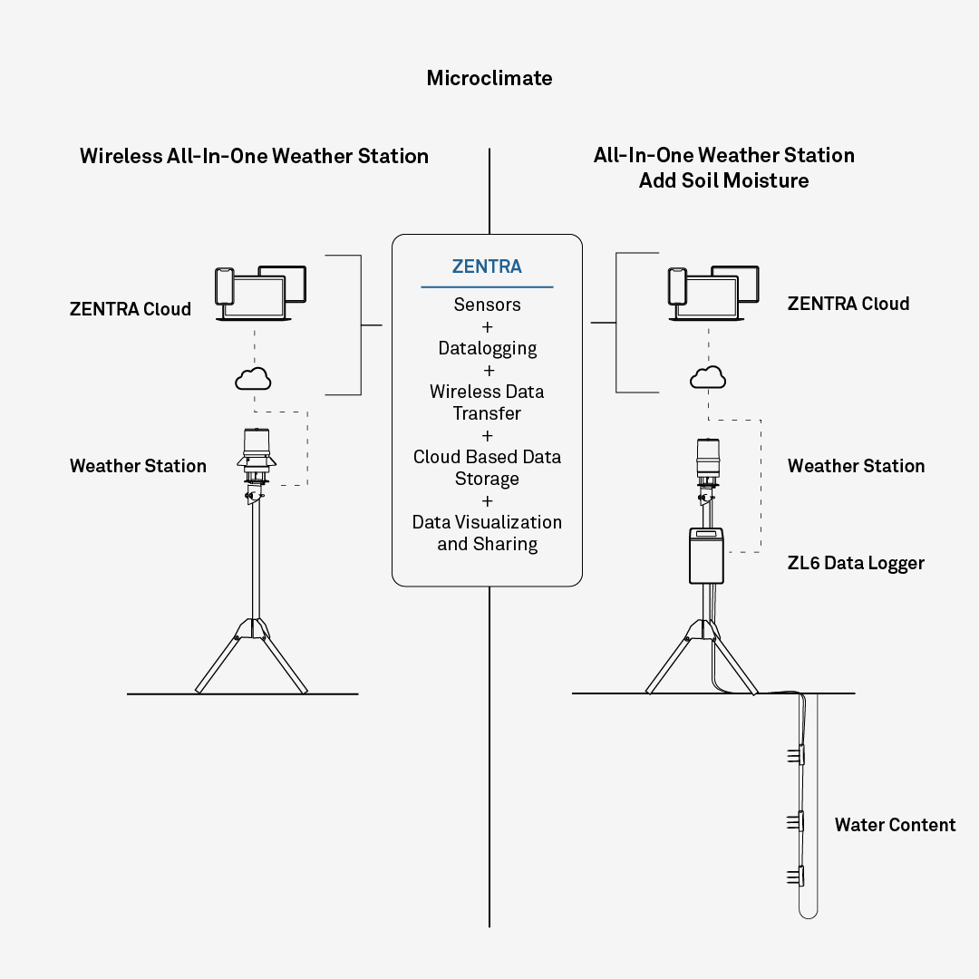
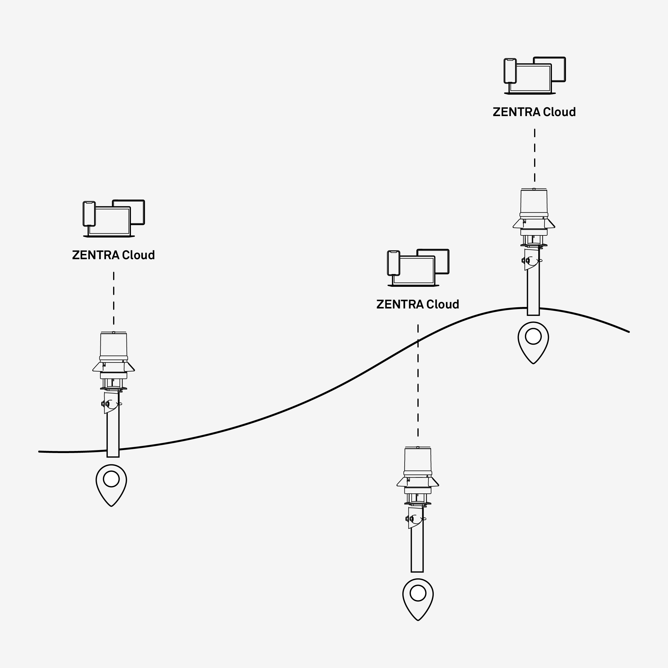
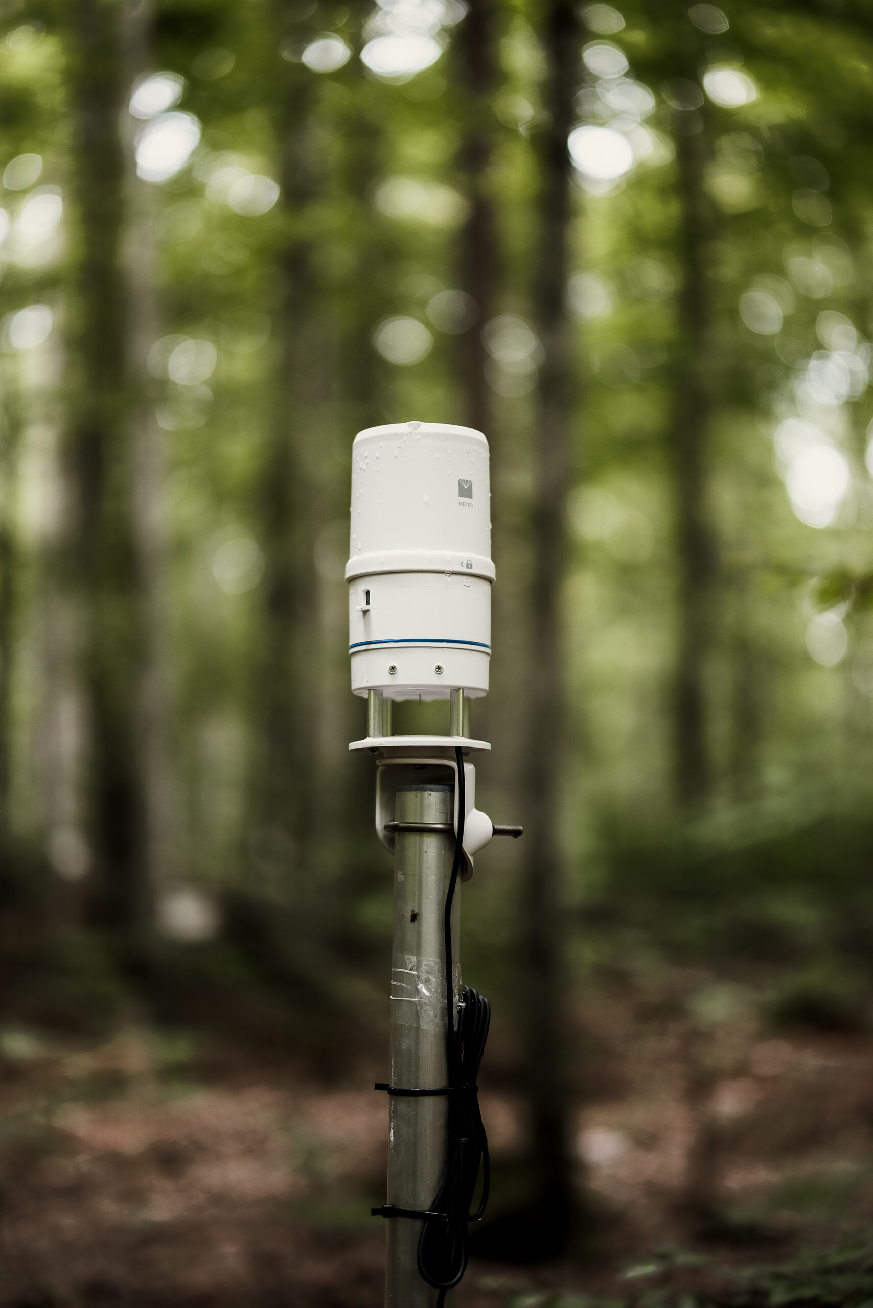
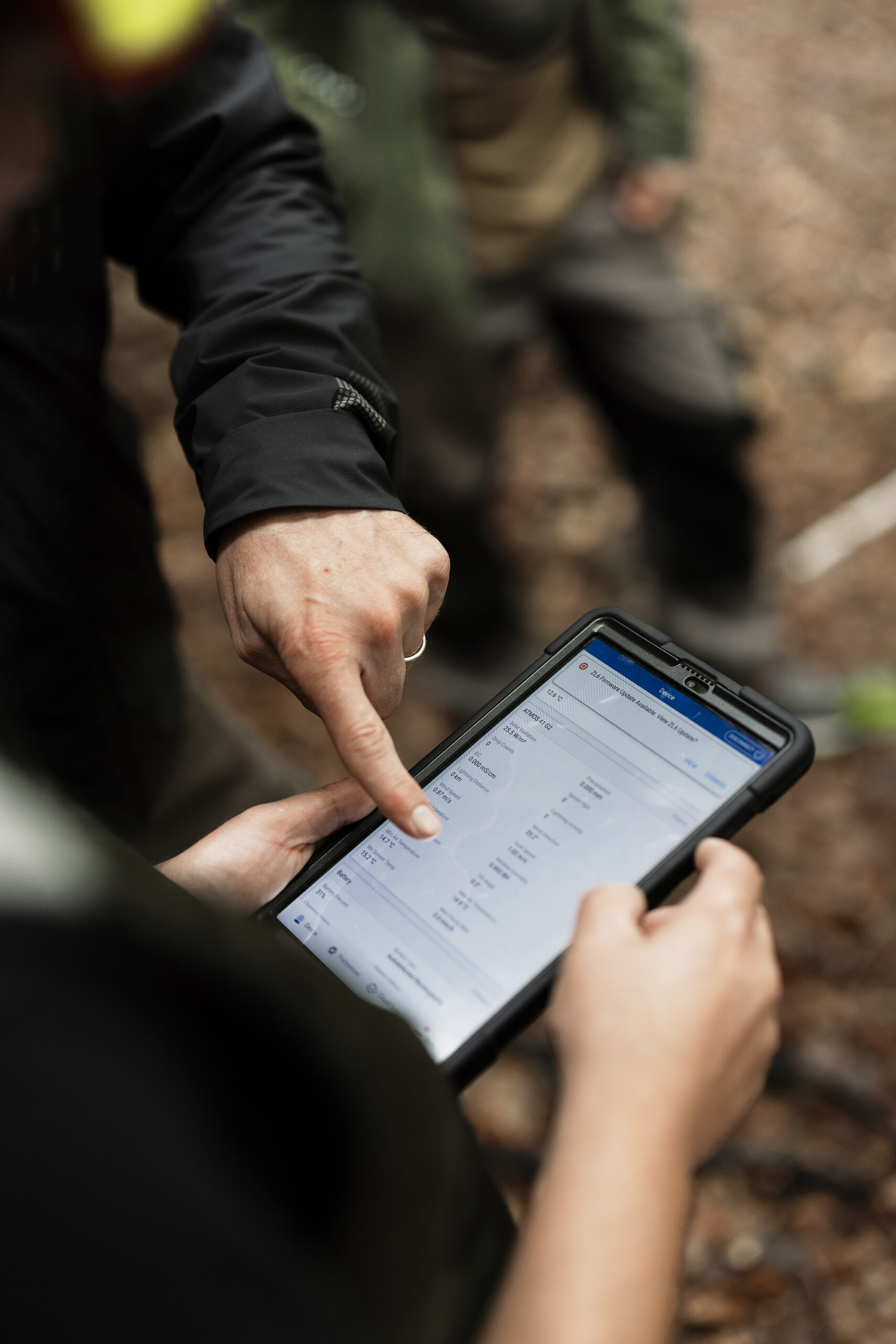
Regional mesonets

Whether you're building a drought alert system or managing a network of field stations, you need dependable data. But what if one of your stations stops reporting? Data gaps can undermine years of investment. Without consistent hardware, standardized calibration, and reliable data delivery, even one outlier station can distort the insights that drive policy, funding, and critical decisions. Errors compound, models lose fidelity, forecasts miss, and decision makers question the data they’ve come to depend on. Mesonets need more than just coverage, they require comparability and continuity across space and time.

Left Side

Gaps in your network create decision-making gaps

You’re building more than infrastructure. You’re building a foundation of data that other systems rely on. When stations in your network are too far apart or underperforming, you risk:

Missed local variability (e.g. convective storms, inversion layers)

Inaccurate precipitation or ET estimates

Delayed or incorrect response from planners and first responders

Lost credibility with stakeholders relying on your data

Scalable, science-grade monitoring systems you can deploy with confidence
METER helps you create a resilient mesonet with accurate, affordable, and easy-to-integrate instrumentation.
ATMOS 41 all-in-one weather stations measure 12 key variables with no moving parts, minimizing maintenance and maximizing data quality.
TEROS sensors deliver below-ground insights, like soil moisture and temperature, that validate hydrologic and ag models.
ZENTRA Cloud provides real-time data access, automated QC tools, and API integration with existing networks and software environments.
Left Side

From first install to full coverage: here’s how

Whether you’re expanding your existing mesonet or building one from scratch, METER offers a path that’s scalable, cost-efficient, and quick to deploy:

Choose sensor configurations based on your region’s variability and goals.

Install stations and connect to ZENTRA Cloud for immediate visibility and system health checks.

Stream data into your platform or ours using open APIs and QC-ready formats.

A network

you can stand behind

Inaccurate or missing data can break trust across agencies, institutions, and communities. Without full coverage and confidence in the numbers, your entire network’s value starts to erode. Operating with wide spatial gaps, outdated stations, or inconsistent data quality exposes you to:
Model blind spots

Public criticism when forecasts fail

Loss of funding or expansion approval

Increased maintenance costs with legacy systems
With METER, your mesonet is built on reliable, scientific-grade data and simplified operation, so your team can shift focus from fixing issues to advancing impact. METER systems enable you to:
Reduce spatial data gaps by adding affordable stations that install quickly without increasing complexity

Collect defensible data that meets scientific and operational standards

Share clean, real-time data with your community, research partners, and stakeholders

Monitor system health from anywhere
Kevin Hyde Env Client Quote Graphic
"For [our purposes] these METER [weather] stations are quite extraordinary. All our stations have the ATMOS. We’re getting solar radiation, lightning counts with the precipitation, RH, temperature, windspeed and direction...not just the water balance, but the energy balance. That’s what these new systems can provide us."
Mesonet Development Manager Kevin Hyde, PhD | Montana Climate Office

Listen to the podcast

Regional mesonet solutions

Build a network weather models can rely on. Close spatial gaps and scale with confidence using research-grade sensors designed for long-term, ground-truth data collection. Explore METER solutions for regional mesonets.

Weather monitoring

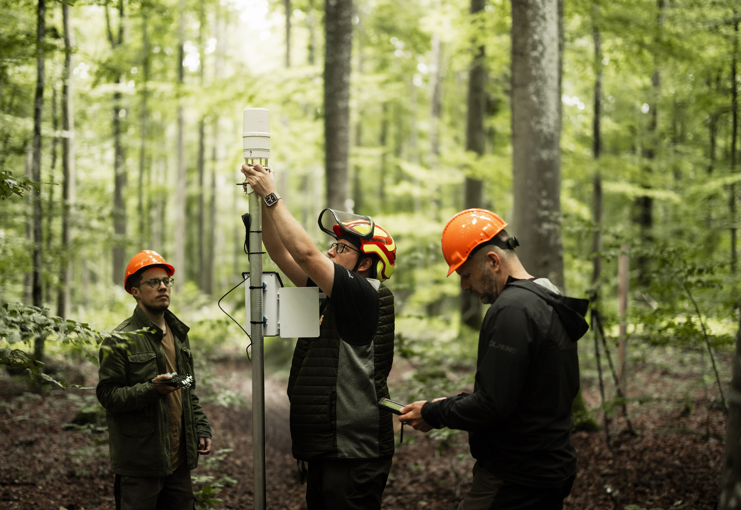
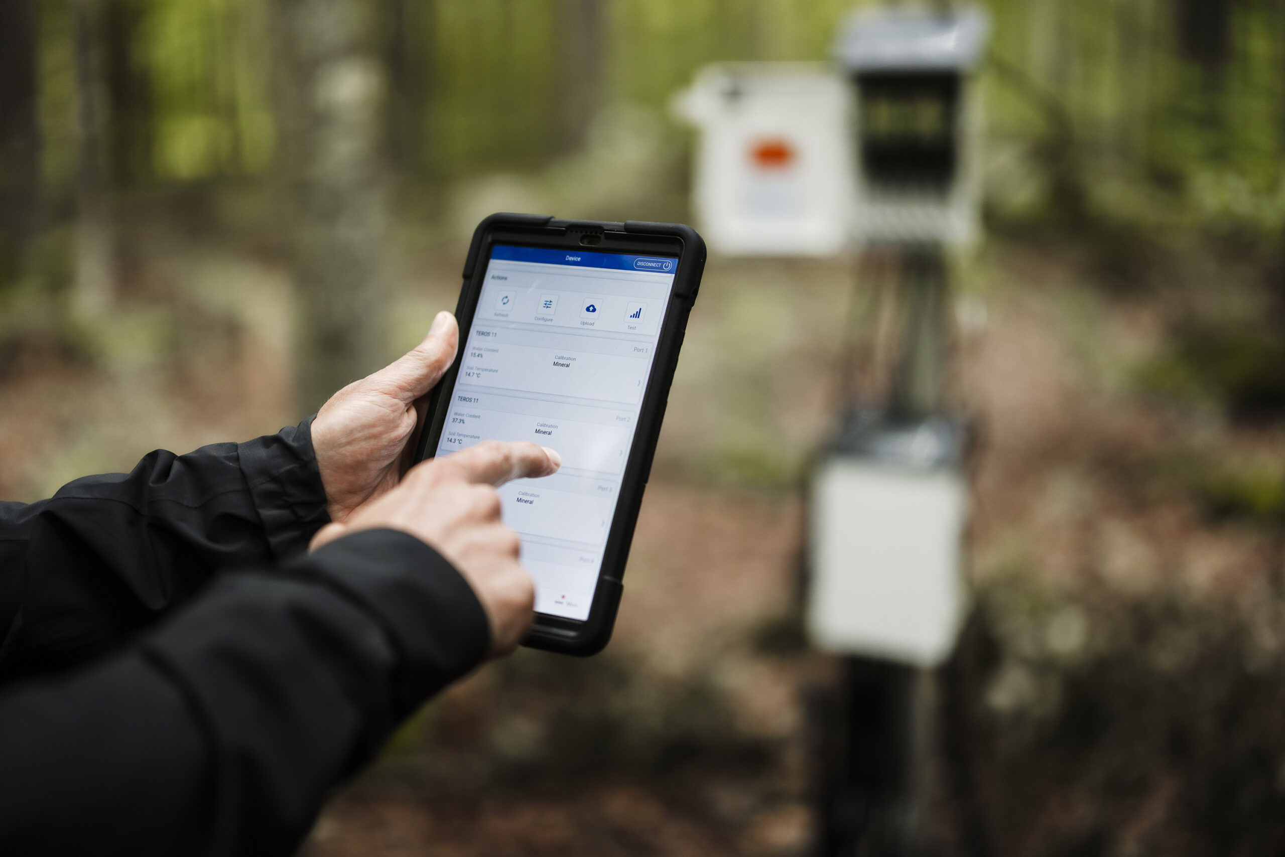
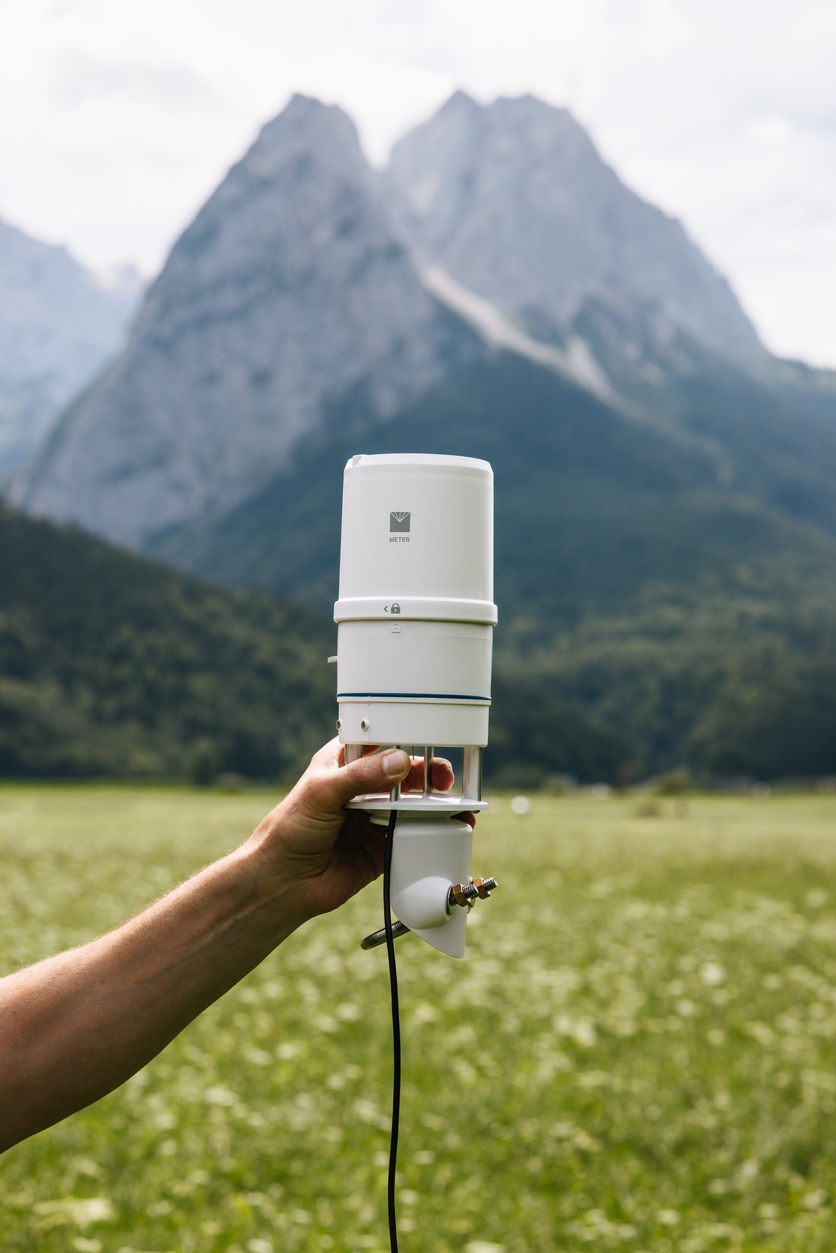
When you're managing a weather mesonet, every node counts—and downtime isn’t an option. You need stations that are easy to deploy, dependable over time, and ready to start streaming data fast. METER’s all-in-one weather stations are built for speed and simplicity—install in under 15 minutes and start transmitting data via cellular, Wi-Fi, or data logger depending on your setup. Whether you’re building out coverage or filling in spatial gaps, our systems make expanding your network easy—and your data rock-solid.

Soil moisture

Weather data tells part of the story—but without soil moisture, the picture is incomplete. For mesonets supporting wildfire prediction, flood forecasting, or hydrologic modeling, understanding how water moves through the system means knowing both volumetric water content (VWC) and water potential. METER makes it easy to pair research-grade soil moisture sensors with your atmospheric network, giving you a complete, system-level view of moisture dynamics—so you can deliver deeper insight, improve model accuracy, and better serve your community.

API connection

Running a mesonet means delivering data that’s not just accurate—but accessible, flexible, and ready to power decisions at scale. With ZENTRA Cloud’s REST and Push API options, you can stream high-quality environmental data directly into your own systems—fast, securely, and without custom workarounds. Seamlessly integrate with modeling tools, visualization platforms, or internal databases—so every data point goes further, faster.

ZL6 Data Logger next to a tablet and several screenshots. the tablet and screenshots show data visualizations from ZENTRA Cloud software

ZENTRA System

Customize your data collection and logging solution by combining multiple METER sensors with the ZL6 Data Logger and ZENTRA Cloud. ZENTRA stores your data in the cloud, allowing easy access to your data and near-real-time reports from all of your data loggers.

Avoid costly field visits by accessing your data from any web-connected device. Analyze it with ZENTRA Cloud’s built-in visualization tools, and easily share insights without tracking down log files on individual computers.

Learn more about ZENTRA

METER is trusted by
See how scientists, growers, and engineers have used METER solutions in the field.
The staggering cost of Montana’s flash drought

The staggering cost of Montana’s flash drought

Weather data: Virtual, in-field, or regional network—Does it matter?

Weather data: Virtual, in-field, or regional network—Does it matter?

Weather monitoring system comparison: Which is right for you?

Weather monitoring system comparison: Which is right for you?

A photo of a METER publication in book form open on a flat surface

Case studies, webinars, and articles you’ll love

Receive the latest content on a regular basis.

icon-angle icon-bars icon-times
Chat