Low impact design: Sensors validate California groundwater resource management
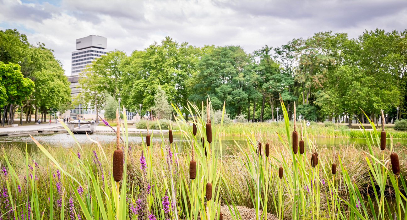
Berkley lab research scientist Dr. Michelle Newcomer wanted to know how effective low impact designs were at infiltrating and storing rainwater in dry climates, so she installed METER soil moisture and water potential sensors in rain gardens and infiltration trenches around the California Coastal Westside Basin aquifer system as part of a study to find out.
Low impact design structures
Global groundwater resources in urban, coastal environments are highly vulnerable to increased human pressures and climate variability. Impervious surfaces, such as buildings, roads, and parking lots prevent infiltration, reduce recharge to underlying aquifers, and increase contaminants in surface runoff that often overflow sewage systems. To mitigate these effects, cities worldwide are adopting low impact design (LID) approaches to direct runoff into natural vegetated systems such as rain gardens that reduce, filter, and slow stormwater runoff. LID hypothetically increases infiltration and recharge rates to aquifers.
Infiltration and recharge
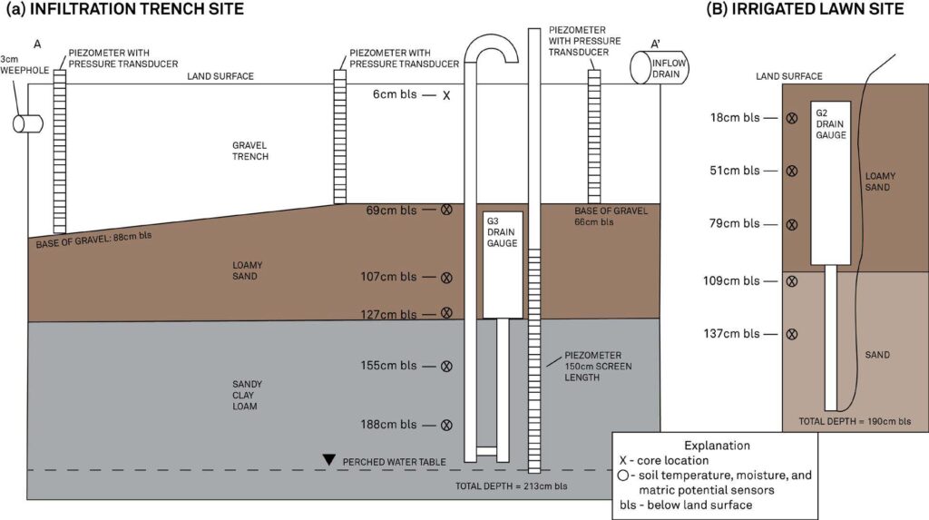
Michelle and the team at San Francisco State University, advised by Dr. Jason Gurdak, realized that the effects of LID on recharge rates and quality were unknown, particularly during intense precipitation events for cities along the Pacific coast in response to inter-annual variability of the El Niño Southern Oscillation (ENSO). Using METER water potential and water content sensors she was able to quantify the current and projected rates of infiltration and recharge to the California Coastal Westside Basin aquifer system. The team compared a LID infiltration trench surrounded by a rain garden with a traditional turf-lawn setting in San Francisco.
She says, “Cities like San Francisco are implementing these LID structures, and we wanted to test the quantity of water that was going through them. We were interested specifically in different climate scenarios, like El Niño versus La Niña, because rain events are much more intense during El Niño years and could cause flash flooding or surface pollutant overflow problems.”
Sensors tell the story
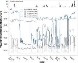
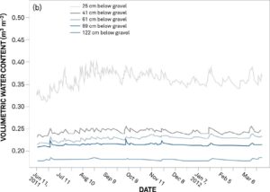
The research team looked at the differences in the quantity of water that LID structures could allow to pass through. Michelle says “The water potential and soil moisture sensors yielded data proving LID areas were effective at capturing the water, infiltrating it more slowly, and essentially storing it in the aquifer.” The team tested how a low-impact development-style infiltration trench compared to an irrigated lawn and found that the recharge efficiency of the infiltration trench, at 58% to 79%, was much higher than that of the lawn, at 8% to 33%.
Find out which soil moisture sensor is right for your application
Rain gauges yield surprises
Though it wasn’t part of the researchers’ original plan, they used rain gauges to measure precipitation, which yielded some surprising data.
Michelle comments, “We were just going to use the San Francisco database, but it became necessary to use the rain gauges because of all the fog. The fog brought a lot of precipitation with it that didn’t come in the form of raindrops. As it condensed on the leaves, it provided a substantial portion of the water in the budget, and that was surprising to me. The rain gauge captured the condensate on the funnel of the instrument, so we were able to see that a certain quantity of water was coming in that is typically neglected in many studies.”
Future El Niño precipitation
Michelle also found some really interesting results regarding El Niño and La Niña. She says, “I did a historical analysis to establish baselines for frequency, intensity, and duration of precipitation events during El Niño and La Niña years. I then ran projected climate data through a Hydrus-2D model, and the models showed that with future El Niño intensities, recharge rates were effectively higher for a given precipitation event. During these events, in typical urban settings, water runs off so fast that only these rain gardens and trenches would be able to capture the rain that would otherwise be lost to the ocean. This contrasts with a La Niña climate scenario where there’s typically less rain that is more diffuse. Most of that rain may eventually be lost to evaporation during dry years. So using sensors and 2D modeling we have validated the hypothesis that LID structures provide a service for storing water, particularly during El Niño years where there are more intense rainstorms.”
Michelle’s research received some press online and also was featured in the AGU EOS Editor’s spotlight. Her results are published in the journal Water Resources Research.
Download the “Researcher’s complete guide to water potential”
Case studies, webinars, and articles you’ll love
Receive the latest content on a regular basis.