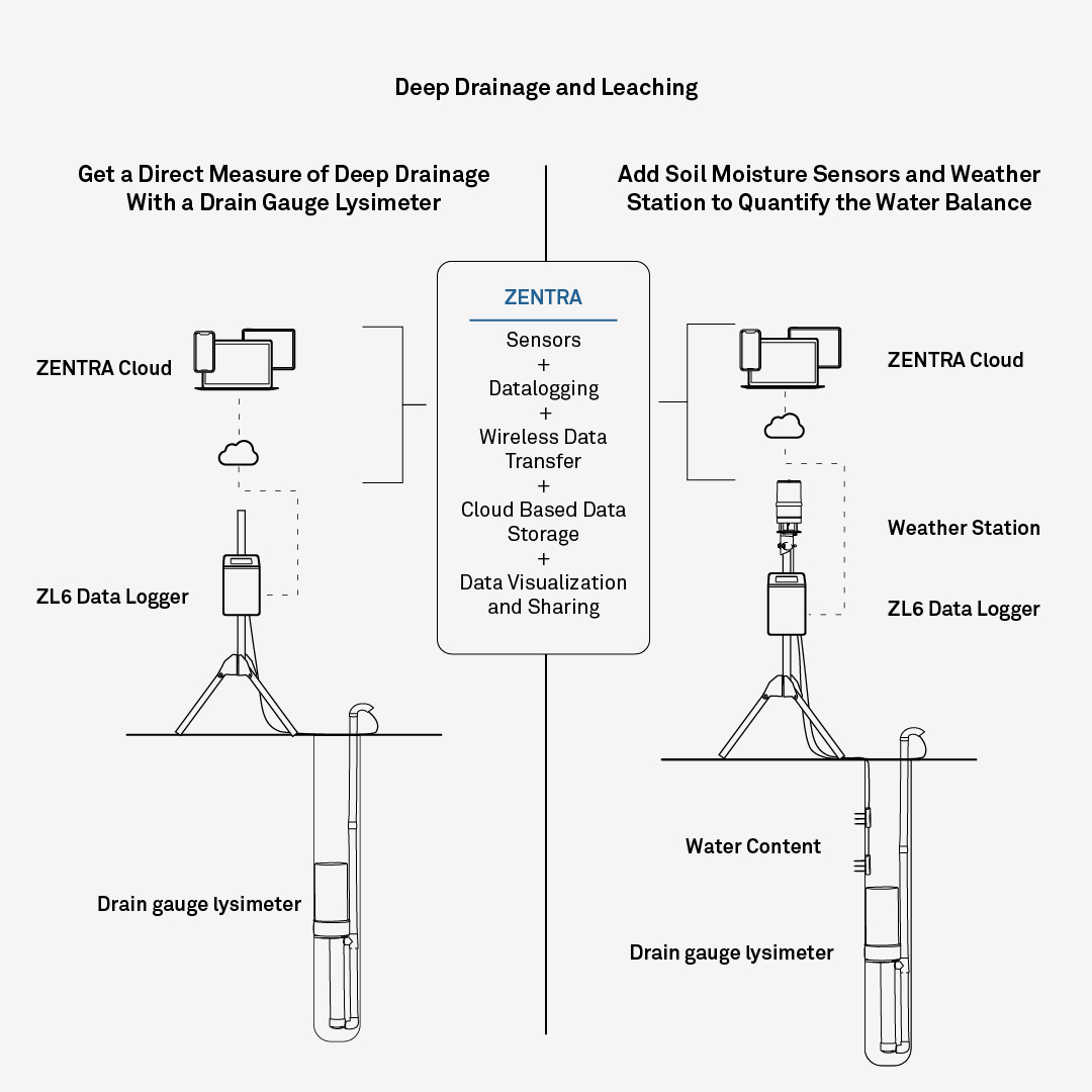


Deep Drainage
Study groundwater recharge, nutrient or contaminant leaching, and the influence of land management practices on water retention and drainage across a larger area with affordable, easy to use instruments.
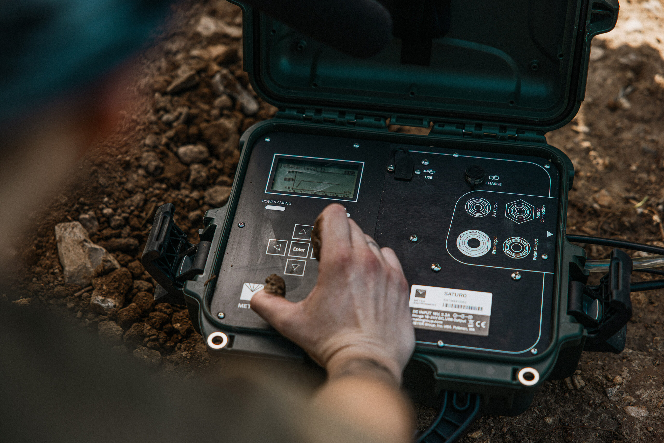
Drainage, Water Depth, and Electrical Conductivity
Water Depth and Electrical Conductivity
Water Content and Electrical Conductivity
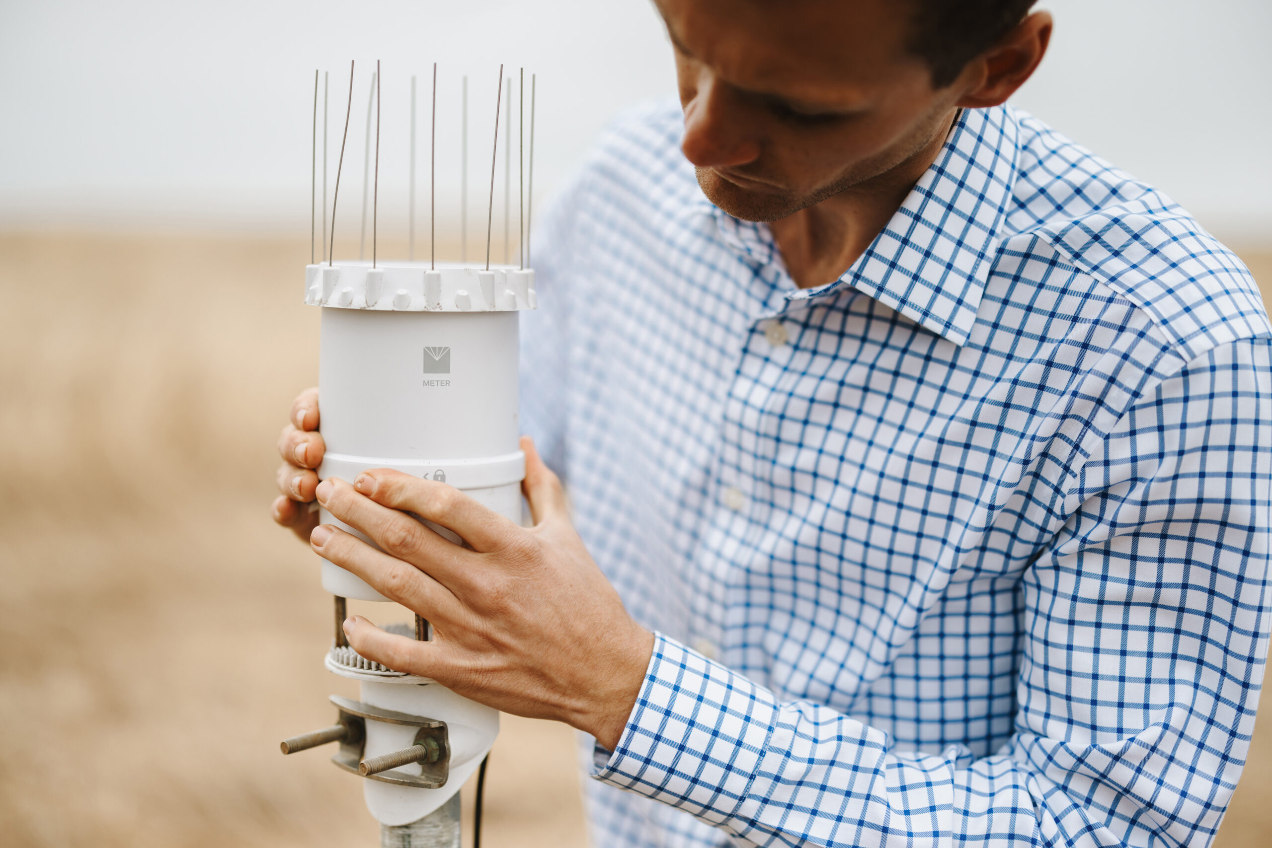
- TEROS 12 Z